GPS was originally developed by the United States Department of Defense in the 1970s to provide precise location data for military operations. The system allowed armed forces to navigate unfamiliar terrain, coordinate troop movements, and accurately target weapons systems. The technology relied on a constellation of satellites orbiting Earth, transmitting signals that receivers could use to calculate exact positions. Over time, the precision and reliability of GPS became recognized as valuable for civilian applications as well.
In the 1980s, the U.S. government made the decision to allow civilian access to GPS signals, albeit with limited accuracy through a feature called Selective Availability. This marked the beginning of GPS’s expansion into non-military domains. Civilian GPS devices could now be used for navigation in vehicles, maritime operations, and scientific research, although the positioning data was intentionally less precise than military-grade GPS.
By the 1990s, technological advances allowed GPS receivers to become more affordable and compact, paving the way for widespread civilian adoption. Companies began developing personal GPS devices, automotive navigation systems, and mobile applications. Understanding what is GPS navigation in this context highlights how satellite-based location technology began to reshape everyday life, from travel to logistics and communication.
The Development of GPS Satellite Constellations
The GPS system relies on a network of satellites orbiting approximately 20,200 kilometers (12,550 miles) above Earth. Initially, the system required at least 24 operational satellites to provide global coverage, although more satellites have since been added to improve reliability and accuracy. Each satellite carries an atomic clock that ensures precise timing, which is critical for calculating accurate positions.
Signals from these satellites are received by GPS devices on the ground. By measuring the time it takes for signals to travel from multiple satellites to the receiver, the device can determine its exact location using a method called trilateration. As satellite technology improved, signals became more robust, and newer generations of satellites introduced additional frequencies to reduce interference and increase precision for civilian users.
GPS in Everyday Life
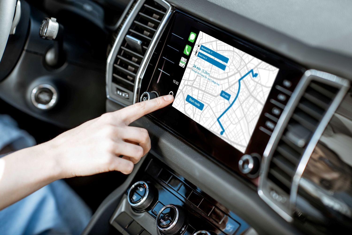
Once GPS became available to civilians, its applications expanded rapidly. Vehicle navigation systems became mainstream in the late 1990s and early 2000s, providing real-time directions and traffic updates. Smartphones integrated GPS chips, enabling location-based services such as ride-hailing apps, mapping, fitness tracking, and geocaching. Today, GPS technology is embedded in countless devices, from smartwatches to cameras, transforming how people interact with the world around them.
Beyond personal use, GPS revolutionized industries such as shipping, logistics, agriculture, and aviation. Fleet management systems use GPS to monitor vehicle locations, optimize routes, and ensure timely deliveries. Farmers employ GPS for precision agriculture, mapping fields and controlling machinery with centimeter-level accuracy. Even search and rescue operations depend on GPS to locate missing individuals quickly and accurately.
Technological Advancements and Accuracy Improvements
Over the years, GPS technology has become increasingly accurate and reliable. Early civilian GPS signals were limited to about 100 meters of accuracy due to Selective Availability. However, the discontinuation of this feature in 2000, combined with advancements in satellite design and signal processing, improved civilian accuracy to within 5–10 meters under normal conditions.
Additional technologies such as Differential GPS (DGPS) and Real-Time Kinematic (RTK) further enhance accuracy for professional applications. DGPS uses ground-based reference stations to correct satellite errors, while RTK leverages carrier-phase measurements to achieve centimeter-level precision. Modern GPS devices also integrate other global navigation satellite systems (GNSS), including Russia’s GLONASS, Europe’s Galileo, and China’s BeiDou, which increases satellite availability and improves positioning in challenging environments.
The Future of GPS Technology
As technology continues to advance, GPS is becoming even more integrated into emerging applications. Autonomous vehicles, drones, and smart cities rely heavily on precise satellite positioning. Augmented reality (AR) and virtual reality (VR) applications also depend on GPS to overlay digital information accurately onto the physical world.
The future of GPS includes further improvements in satellite technology, multi-frequency signals, and better resistance to interference and signal jamming. With these innovations, GPS navigation will continue to be more accurate, reliable, and seamless, further embedding itself into the fabric of daily life.
Conclusion
From its origins as a military tool to its role in everyday navigation, GPS technology has evolved dramatically over the past five decades. Understanding what is GPS navigation highlights the remarkable journey of satellite-based positioning systems and their impact on modern life. Today, GPS guides millions of people, supports critical industries, and enables innovative technologies, illustrating how a once-exclusive military system has transformed the way we explore and interact with the world.